

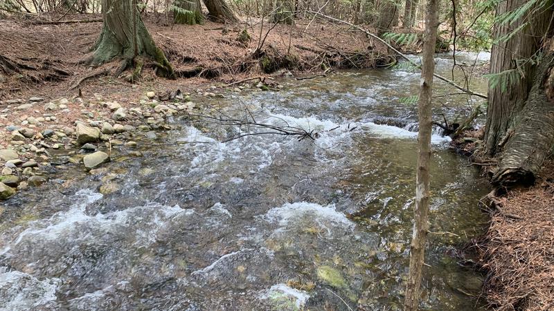
Slow snow melt could lead to spring flooding
Snow pack is above normal in most of B.C., but the Okanagan is the exception.
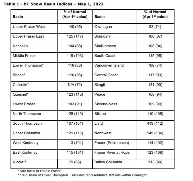
The B.C. River Forecast Centre says the Okanagan is the only region in the province with slightly below normal snow readings at 83 per cent, well below the provincial average of 113 per cent.
The centre says the flood risk for some areas has increased considerably due to colder temperatures in April and delayed snowmelt.
“The combination of above normal snow pack, colder April and early May temperatures, delayed melt, and additional precipitation have significantly increased the risk of flooding this spring,” the centre’s May report stated.
“Snow pack is only one factor related to freshet flood risk. Weather conditions from May through June determine the timing, magnitude, and rate of snow melt, where heavy rainfall events can exacerbate snowmelt-driven flows. An extreme heat wave – like the Heat Dome in late June 2021 – could lead to significant provincial flooding if it occurred between mid-May to mid-June,” the report added.
Snow basin indices for May 1 range from a low of 83 per cent of normal in the Okanagan to a high of 413 per cent in the Liard in northern B.C.
The Okanagan’s lower reading is good from a flooding perspective, but not as good from a water supply stand point.
The snow survey numbers are based on data from 108 manual snow courses and 88 automated snow weather stations around the province.
 (Image credit: B.C. River Forecast Centre)