

Landslide risk persists in wildfire affected areas
People living in areas near where wildfires have burned are advised to be prepared for possible debris flows and landslides.
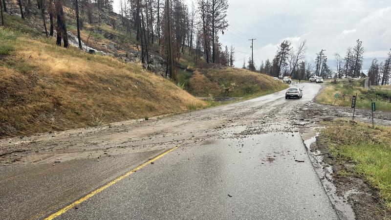
With the overland flooding on Westside Road Friday, August 15, The Regional District of Central Okanagan reminds the public that areas impacted by wildfires have a higher likelihood of overland flow, landslides and flooding as vegetation burned in fires are not able to absorb rainfall.
The RDCO added the rate of erosion does decline with time, but risks of landslides could persist for three to 10 years depending on the slope, soil type, and severity of the wildfire impact.
People in areas near where wildfires have burned are advised to keep an eye out for changes to streams and waterways that could signal a landslide such as sudden change flows and volume, water turning from clear to murky, accumulation of logs or debris, and sediment accumulating along flat sections.
People should also be aware that tension cracks forming near the top of slopes, as well as falling rocks or flowing or sliding soil could also signal landslides.
A short video was produced during Emergency Preparedness Week regarding post-wildfire hazards and how to protect property, and the RDCO advises people re-watch the video. Further landslide preparedness information and resources can be found at the PreparedBC website.
Landslides and debris flow indicators can be reported 24/7 at 1-800-663-3456, and people can also report these instances to their local fire department, RCMP, or public works department. People should call 911 in emergency events.